
The new release of our Geoscience Stress Modeling Suite plugin for Petrel™ subsurface software is available!
Learn more about GSM…

Discover our new Geoscience Stress Modeling Suite! Meet us on booth #2450
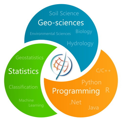
Use our innovative and efficient tools for reservoir characterization including petrophysical modeling, facies modeling, object simulation and many more.
Take advantage of our recognized experience in designing and developing geomodeling, geostatistical and probabilistic software tools for reservoir characterization and environment.
Get more from your data! Advanced spatial and temporal modeling tools for soils, water and air with uncertainty quantification.
Take a look at our products. Available as plugins in leading geomodeling software or as standalone solutions.

The Geoscience Stress Modeling Suite is the next generation of geomechanical tools designed to support very high resolution models and account for thousands of faults and fractures. It is easy to use and dramatically decreases computation times.
The Geoscience Stress Modeling Suite is available in:
It is the fruit of a successful collaboration with Geomex Software Solutions.

In the world of Multiple-Point Statistics (MPS), DeeSse is a game changer. Based on a direct sampling strategy, it is particularly well suited for building realistic sub-surface geological models to be used in flow-simulation, both in hydro-carbon or hydrogeological contexts.
DeeSse is available in:

Well-known geostatistical algorithm, Ephesia’s PGS (Pluri-Gaussian Simulations) has brought this tool’s capabilities to a new level. Building the truncation diagram is made easy and intuitive. Possibility to use non-stationary proportions or variogram parameters. PGS becomes a must have in every geomodeller’s toolbox.
PGS is available in :

In 2011, Impala became one of the very first Multiple Point Statistics (MPS) algorithms brought to the market. Almost 10 years later, it is still a standard in the field: more than 120 published scientific papers cite Impala. Numerous reservoir modeling studies have use it with success.
Impala is available in the following solutions:
The NextGen outperforming petrophysical properties simulator.
In a transparent way for the user, SPDE revolutionizes the simulation of petrophysical properties. Significantly improved performance. Uncompromising quality, especially in non-stationary conditions. Gridless simulations applicable to all types of grids and managing the support effect. And more…

Development of a standalone software for calculating and mapping health risks and their uncertainties on polluted sites. Decision support tool for former industrial sites redevelopment projects.

Ephesia has taken up the challenge to develop a customized and online high-throughput plant phenotyping platform for the French National Agronomic Research Institute (INRAE).
The platform allows uploading and archiving high volumes of data acquired by a wide range of cutting-edge agronomic sensors. Data processing workflows can be implemented, and highly customizable thanks to the rich library of processing modules written in various languages (C/C++, Java, Python, R, etc).
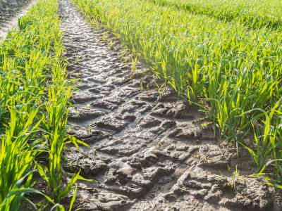
Production of a map of the soil sensitivity to compaction covering the entire Walloon Region using ancillary data, pedotransfer functions and geostatistics. Low cost but high quality insight gain.
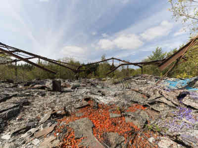
Former industrial site of Chimeuse, in the suburbs of Liège (Belgium), has been remediated by SPAQuE around 2010. The complexity of the spatial distribution of the pollution required advanced modeling tools. Ephesia developed a full 3D model and contributed to delineate polluted areas and to quantify uncertainties on the volume of polluted soils, efficiently contributing to the remediation plan.
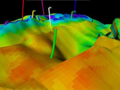
Ephesia has developed a unique expertise in the construction of automated workflows linking the different algorithms required for reservoir modelling. These workflows enable uncertainties to be taken into account and produce the best indicators for decision-making. Calculation performance is pushed to the limit.

Building a Truncation Diagram (TD) has always been a challenge. Ephesia comes up with an efficient solution to automatically build flag-shaped TDs from data using a machine learning algorithm. In non-stationary situations, TDs are also automatically adapted to the local proportions, delivering more geologically realistic simulations.

Ephesia has developed several machine learning tools for reservoir modeling: K-means, CART, EM, Regression, PCA, hierarchical clustering, loess and optimization among others. They were implemented to solve problems such as fitting a mixture model to a uni- or bi-variate distribution, automatically infering truncations diagrams for Pluri-Gaussian Simulations, classification, data analysis, variogram model fitting, etc.
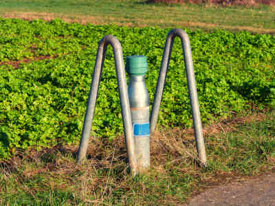
Automatic model fitting and classification of nearly 1000 time series of Nitrate leaching measurements all over the Walloon Region. Huge amount of time saved and reproducibility guaranteed.
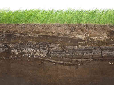
Production of soil texture maps covering the entire Walloon Region mixing accurate but scarce data with qualitative but spatially exhaustive source of information. The whole process delivered as a reproducible and almost entirely automated workflow.
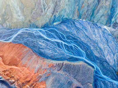
Member of the Multiple-Point Simulation algorithms family, Direct Sampling (DeeSse) is an efficient and effective method for reproducing structures of the type observed in a training image. It also allows the joint simulation of several continuous or categorical variables, conditional to data and taking into account trends in proportions.
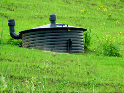
Integrated strategy for measuring and modeling annual biogas emissions. Annually repeated geostatistical modeling of 8 landfills in Wallonia for EU Climate Change reporting. Efficiency through automation.
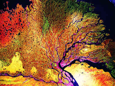
Impala, our first commercial MPS simulator, automatically analyses the patterns present in the training image. It then uses the statistics calculated on these patterns to produce high quality simulations.

Classic algorithm to simulate categorical properties while respecting transitions between categories, PGS has been completely rewritten by Ephesia: new ways to automatically build and adapt truncation diagrams, conditional and non-conditional simulations, non-stationary proportions and/or azimuths are the main features.
As CEO, Philippe ensures that everyone gives its best to achieve the company’s objectives.
He also coordinates the development of major reservoir characterisation and volumetric uncertainty assessment projects.
After having spent eight years at Earth Decision (now Emerson-Paradigm) working on Gocad® projects, he has acquired a long experience in software development and project management.
Philippe holds Engineering degree from the Ecole Nationale Supérieure de Géologie, Nancy (France) and a MSc in Geosciences from Nancy University (France).
Geo-Datascientist specialized in geostatistics, statistics and soil science, Dimitri is in charge of the R&D. His projects always combine geoscience and code development skills. His main goal is to help clients to gain insight from their data.
For the Oil & Gas, he works on projects related to, e.g., simulations of continuous and categorical variables, uncertainty assessment and pseudo-genetic simulations of deltaic lobes and turbiditic channels.
As a specialist in environment, he also leads projects related to soil remediation geostatistical studies, greenhouse gas emission assessment on landfills, nitrate leaching time series modeling, etc.
Dimitri holds a PhD in Agronomical Sciences, from the Université catholique de Louvain, Louvain-la-Neuve, Belgium.
Alexander is a goldsmith in the field of algorithmics. Thanks to him, the most complex problems always find an efficient and optimized implementation.
As a technical referent within the company, Alexandre coordinates the development projects of workflows for uncertainty management in the Oil & Gas field.
Alexandre holds a MSc in Applied Mathematics and MSc in Mathematical Engineering from the University of Franche-Comté (France).
Roland is the founder of Ephesia Consult (earlier called FSS Consultants), established in 1987.
After obtaining a Ph.D. in Geology from the University of Geneva (Switzerland) he spent 10 years in North America, working as a consultant in mining geostatistics.
Roland has accumulated more than 40 years of experience in the field of petroleum, mining and environmental geostatistics. He was one of the first to propose industrial software solutions for geostatistical geomodeling and uncertainty management.
Now retired, he continues as Chairman of the Board to share his experience.
Since 2001, Denis has worked for Ephesia Consult as external scientific adviser where he is involved in R&D projects related to spatial statistics, Bayesian statistics, object simulation and uncertainty assessment.
His wide and renowned scientific culture allows him to propose innovative and practical solutions to complex scientific problems.
Denis is Senior Researcher in spatial statistics at INRA, Avignon (France) where he was head of the unit « Biostatistics and Spatial Processes ».
He holds a MSc and a PhD in Geostatistics from the Ecole des Mines de Paris (France) and has a broad experience as teacher (Former Assistant Professor of Probability and Statistics at the Statistics Department, University of Washington, Seattle (U.S.A.)) and consultant (Former Senior Geostatistician with BP Exploration Production, Subsurface technology (UK)).
